Glovebox atlas Scotland

Association, Automobile

£6.99

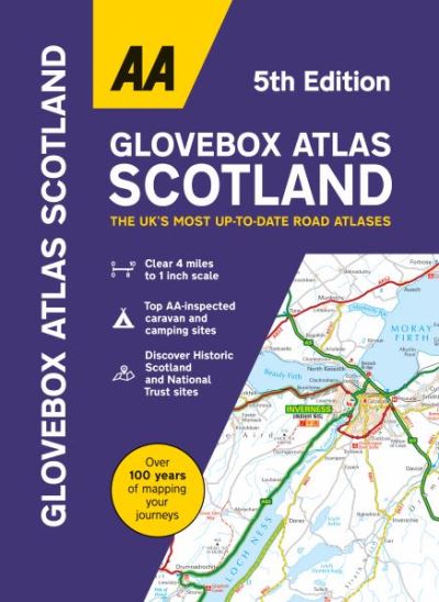
This handy A5 atlas covering the whole of Scotland with an easy to read 4 mile to 1 inch scale fits in the glovebox of your car, perfect for quick referencing on the move. Including information on route planning, car ferry routes and operators, restricted motorway junctions, county map and a distance chart, this is the perfect glovebox companion for traveling through Scotland. The clear mapping shows a range of features including award winning beaches, football stadia, tourist attractions, waterfalls, service areas, steep gradients, and road tolls.

In stock

Publish Date: 06/07/2023
ISBN: 9780749583439 Category:

Description

This handy A5 atlas covering the whole of Scotland with an easy to read 4 mile to 1 inch scale fits in the glovebox of your car, perfect for quick referencing on the move. Including information on route planning, car ferry routes and operators, restricted motorway junctions, county map and a distance chart, this is the perfect glovebox companion for traveling through Scotland. The clear mapping shows a range of features including award winning beaches, football stadia, tourist attractions, waterfalls, service areas, steep gradients and road tolls. Scenic routes and touring information. Top AA-inspected caravan & camping sites and AA listed golf courses. Town plans of central Edinburgh and Glasgow with street indexes and an easy to read index including airports, top tourist sites, motorway services and national parks.
Additional information

Dimensions 210 × 149 mm
Author

Publisher

Imprint

Cover

Paperback

Pages

1 atlas (112 )

Language

English

Edition
Dewey

912.411 (edition:23)

Readership

/ Code: