Description
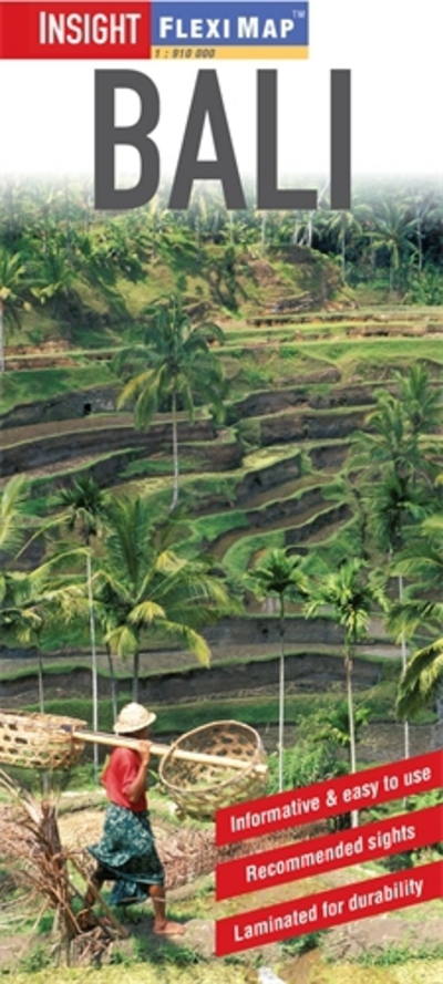
Flexi Map Bali is laminated, tear-resistant and includes 5 separate maps, each map has its own index which has been categorised for ease of use.
It includes a list – with descriptions and some photographs – of 16 recommended sights, divided by theme and linked to the mapping by numbered markers. There is also a handy information section with concise details on getting around, tourist offices, money, tipping, opening times, public holidays, telecommunications, emergency telephone numbers and climate.
On one side is a map of Bali and Nusa Penida at a scale of 1:220 000 (1cm = 2.2km). In addition to the road network, which includes intermediate distance indicators, ferry routes to Nusa Penida and Lombok are shown. Places of interest, such as historical sites, places of worship, beaches, coral reefs and leisure facilities are identified by easy to recognise pictorial symbols, the comprehensive index includes a separate listing for these.
This map also provides a detailed picture of the topography through the use of relief shading with peak heights given, volcanoes, both active and extinct, are clearly marked.
The reverse side includes a more detailed view of Bali South, at a scale of 1:150 000 (1cm = 1.5km). Street plans of Kuta, Ubud and Sanur are also included, on which numerous hotels and resorts, places of interest and public buildings are highlighted.
