Description
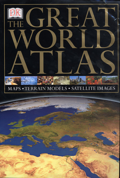
Each satellite image is enhanced by larger-scale photographs of geographic features and each map is complemented by at-a-glance maps, terrain models and place-finders. Includes a 80,000 cross-referenced index-gazeteer with 80 large-scale satellite maps, 80 continental maps, 96 large-scale regional maps and over 750 colour photographs.
